
ASU Suggests Introducing Space Products and Services in the Region
 15.11.2018
.jpg)
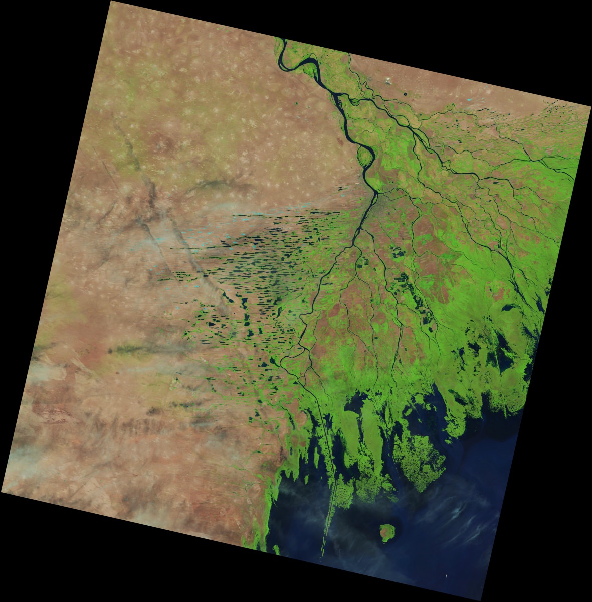
Guided by the Federal Space Programme for the years of 2016-2025, Astrakhan State University develops the sphere of application of geoinformation technology and the Earth remote sensing data in public administration and business.
These activities have become possible thanks to a solid research potential of the ASU Faculty of Geology & Geography. In order to ensure wide application of geospatial technologies for strategic development of the Astrakhan region, the Faculty signs cooperation agreements with leading Russian and foreign enterprises and negotiates about purchasing appropriate equipment, the Earth remote sensing data and software.
For example, ASU has entered into partnership with the Centre of Innovative Technologies, Moscow, that is developing the Image Media Center, a Russian software package for primary, preliminary and thematic processing of the Earth remote sensing data and their analysis in the common geoinformation space.
The second partner of Astrakhan State University in implementing the programme of introducing geospatial data is NextGIS, a Russian company that takes the leading position in developing open geoinformation systems both in Russia and worldwide.
The university has also signed a contract with «Geoscan», a group of companies that produces unmanned aerial vehicles and develops software for photogrammetric data processing and 3D visualization.

